Cascadia Lifelines Program Products and Tools
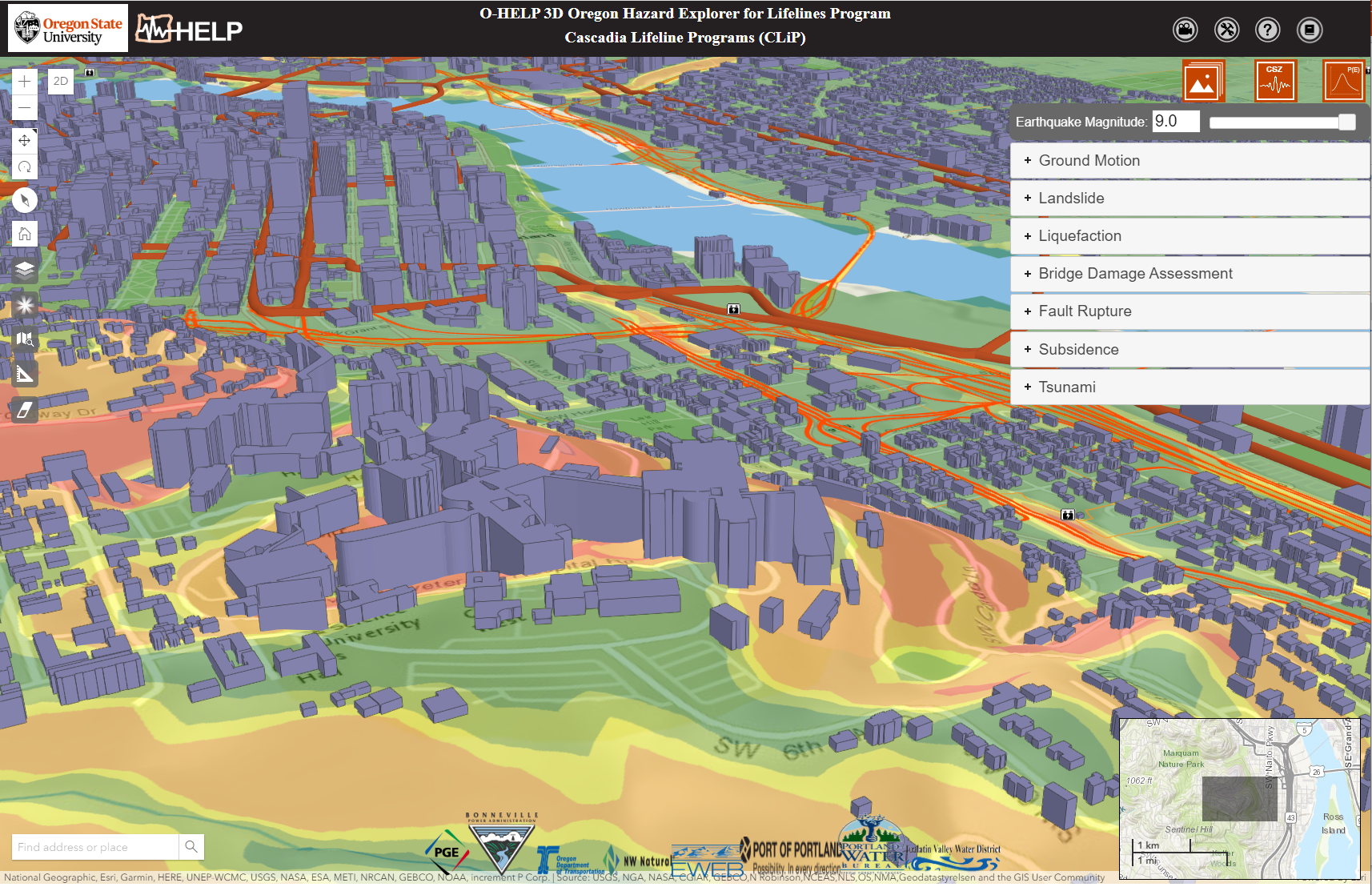
OHELP
The Oregon Hazard Explorer for Lifelines Program is a web-GIS tool to aid engineers in acquiring most recent available seismic data and assessing earthquake hazards in Oregon. The simple and powerful user interface requires only internet access. Data can be queried by address or latitude and longitude.
GOSEP
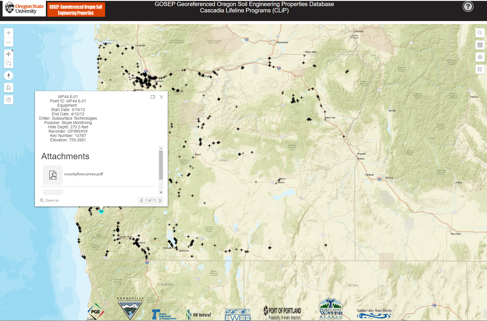
The Georeferenced Oregon Soil Engineering Properties Database is a web-GIS tool to aid engineers in exploring geotechnical information collected across the state of Oregon. The website contains previous boreholes, in situ and laboratory tests of Oregon soils in a powerful 3D web-based interface, which does not require the user to have extensive knowledge of GIS.
Fragility Function Viewer
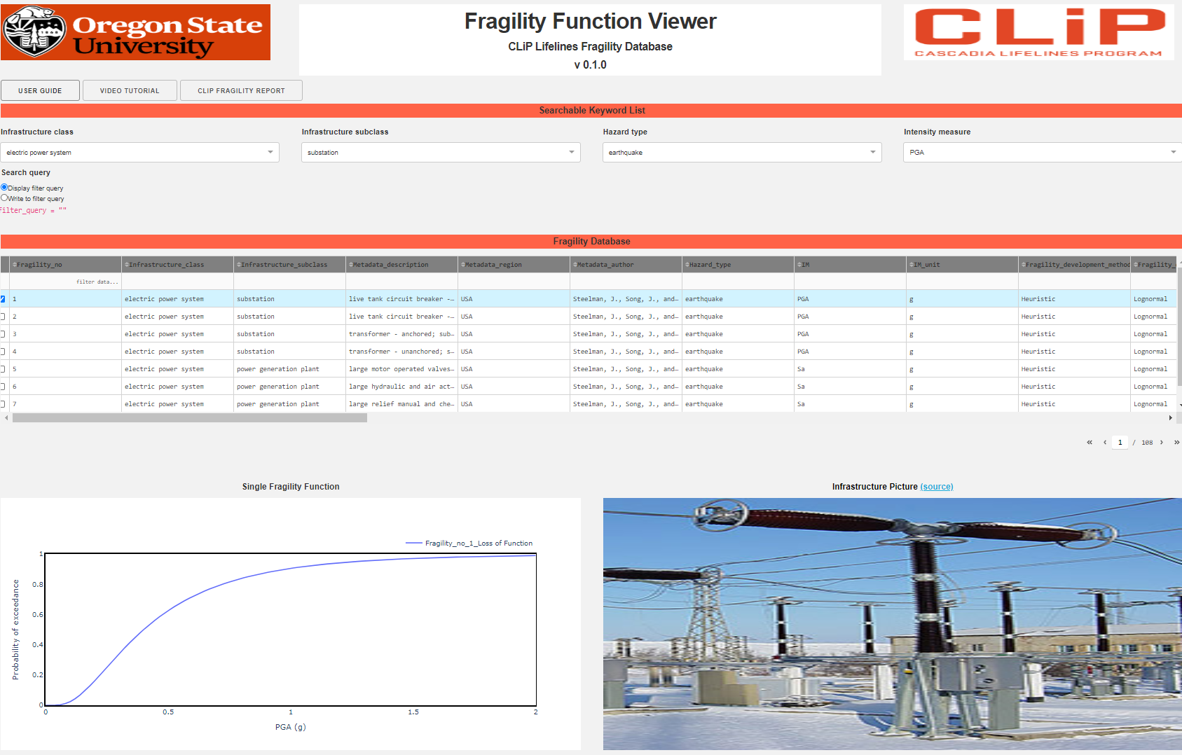
The CLiP Fragility Function Viewer is a user-friendly,web-based user interface for the Cascadia Lifelines Program Fragility Function Database. The application allows one to select, visualize, compare, and export fragility functions currently in the CLiP Lifelines Fragility Function Database.
Pipeline Damage Estimation Tool
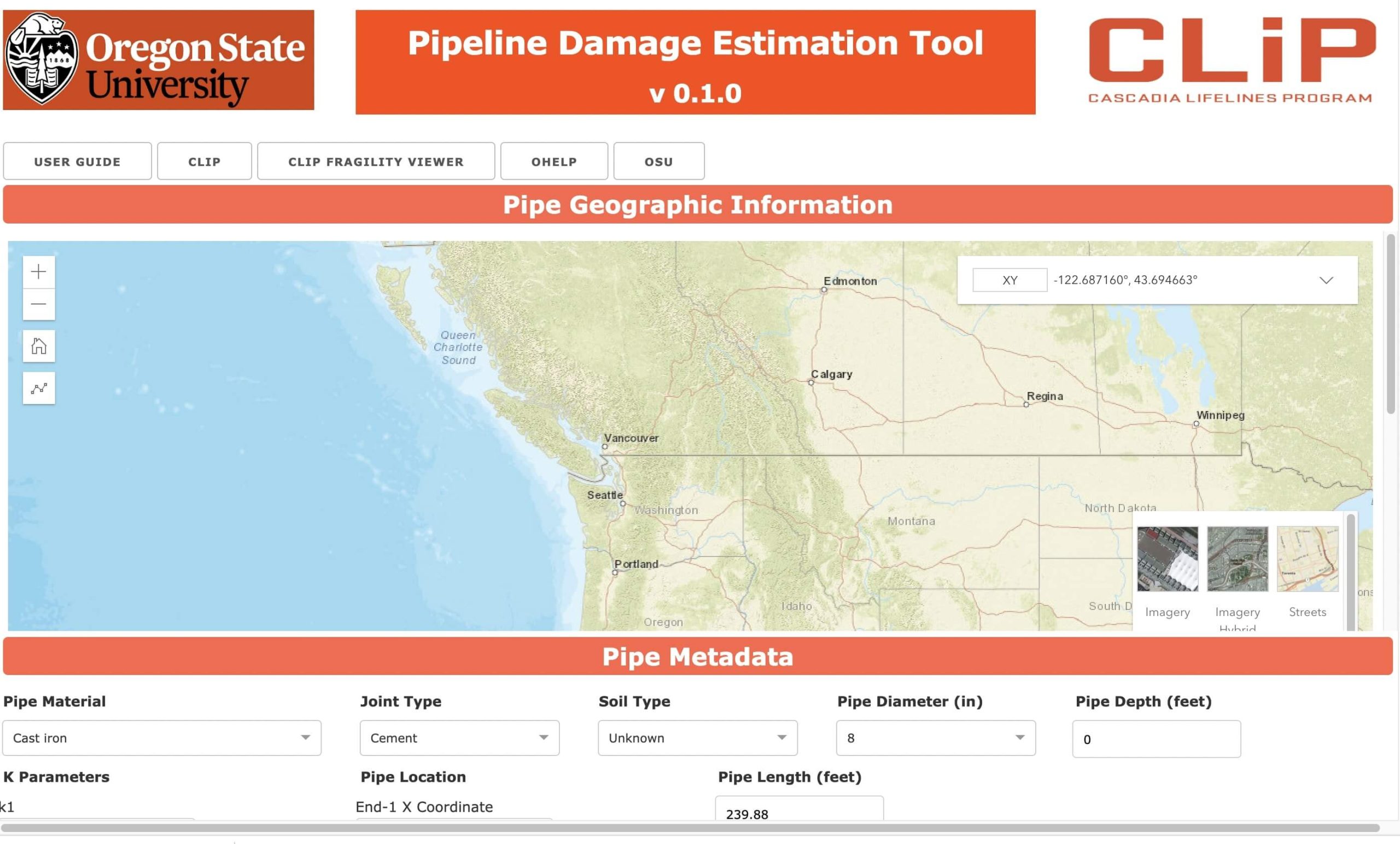
The Pipeline Damage Estimation Tool integrates components from OHelp and the Cascadia Lifelines Program Fragility Function Database. The application allows import a pipe network and perform a fragility analysis.
The Geospatial Analysis for Disaster Evacuation Planning (GADEP) Tool
The Geospatial Analysis for Disaster Evacuation Planning (GADEP) project seeks to provide decision-making support to emergency managers in coastal Oregon cities that are vulnerable to tsunami and earthquake hazards in order to enable a speedy recovery after such disasters.

Misc Analysis Tools
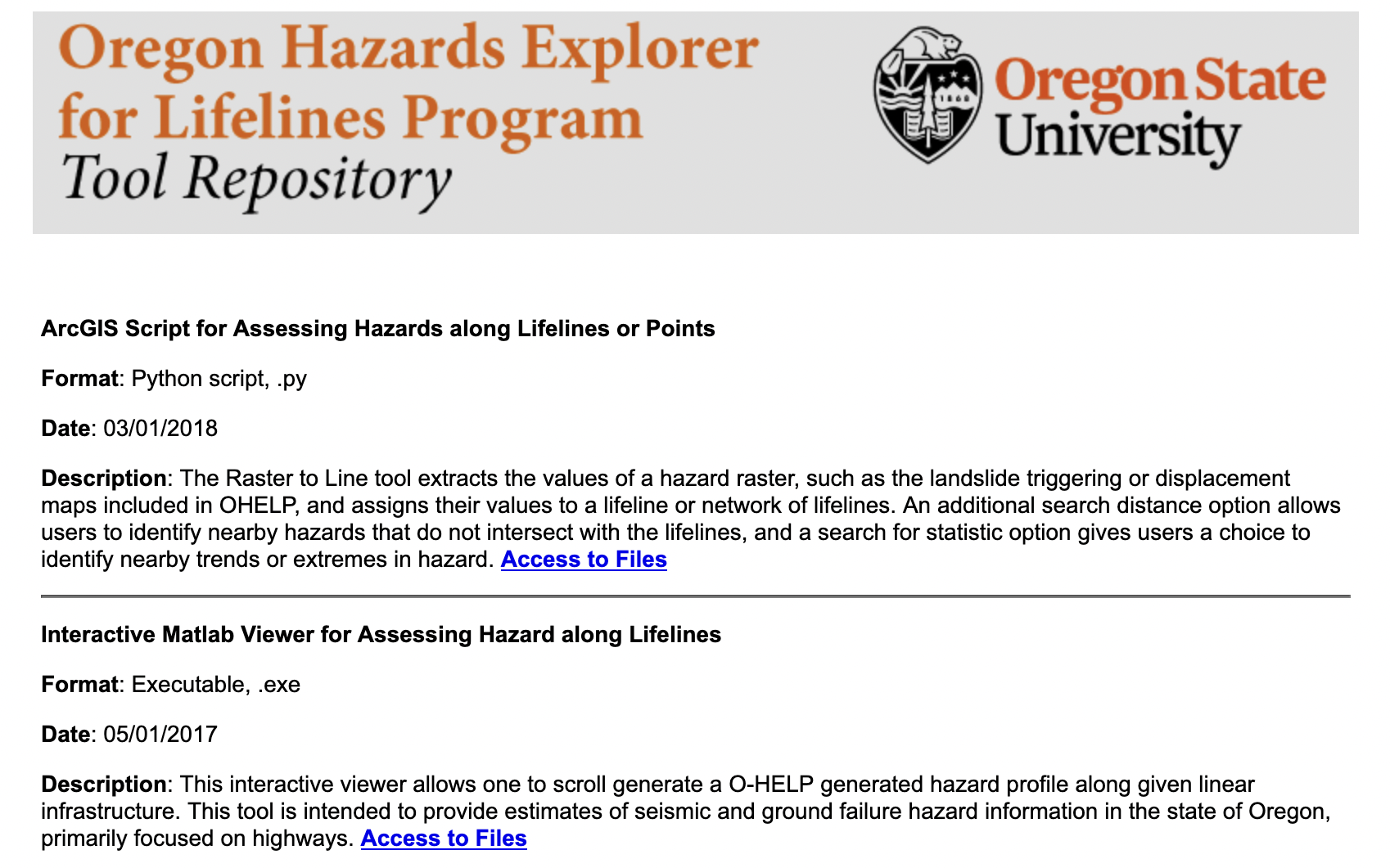
Additional tools have been developed to analyze hazards along lifelines including an ArcGIS script to assess hazards along linear or point-based features, an interactive matlab viewer to assess hazards along lifelines, and a seismic slope stability app.
